Mountain is generally considered to be steeper than a hill. To measure the hight of a Mountain above the sea level, Waugh’s surveyors used a method called triangulation. Observers examined the peak from several points and Knowing the distance from the points to the mountain to calculate the mountain’s actual height above sea level. The observers themselves had to know their own elevation above sea level.
1.Everest Mountain
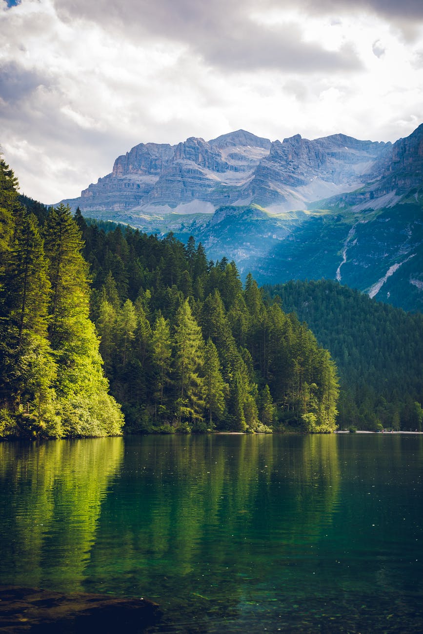
Everest is known as “Sagarmatha” in Nepal and “Chhomolongma” in Tibet. Everest is located in Nepal standing on the Nepal-China border with the height of 8,848 meters (29,029 ft) above sea level. In 1865, Everest was given its official English name by the Royal Geographical Society, as recommended by Andrew Waugh, the British Surveyor General of India, who chose the name of his predecessor in the post, Sir George Everest, despite Everest’s objections. Mount Everest attracts many climbers, some of them highly experienced mountaineers. There are two main climbing routes, one approaching the summit from the southeast in Nepal. Climbing Mt. Everest is probably one of the biggest adventures in the world. it takes nearly 2 months to climb Mount Everest. Despite the fact that climbing Everest is close to the deadliest experience, there are daredevils who are climbing inspirations to the climbing enthusiasts. Although reaching the top of the world is an arduous and potentially deadly undertaking due to the extreme altitude, avalanches, icefalls, and other hazards, the mountain lies quite close to the equator, at a latitude of approximately 28 degrees. 17 different routes have been pioneered to the summit of Everest. Everest’s summit has approximately one-third the air pressure that exists at sea level, which significantly reduces a climber’s ability to breathe in enough oxygen. Because of this, scientists have determined that the human body is not capable of remaining indefinitely above 19,000 feet. Earth scientists estimate that Everest is 50 to 60 million years old by geological standards. Everest is the highest mountain in the world.
- K2 Mountain
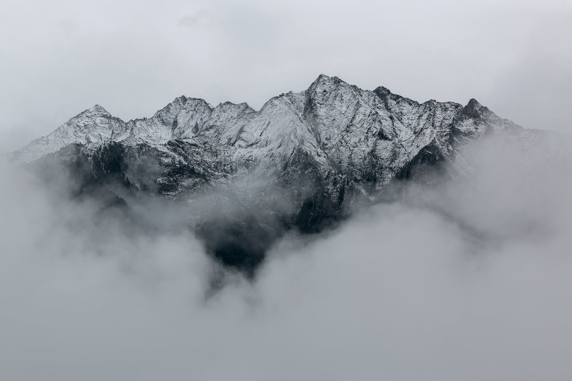
Someone had once said that happiness comes in peaks and valleys. K2 Mountain lies in Pakistan in the Karakoram Range of the Himalayas. K2, Chinese Qogir Feng, also called Mount Godwin Austen, called locally Dapsang or Chogori, the world’s second highest peak with 28,251 feet (8,611 metres) height above the sea level. The glacier- and snow-covered mountain rises from its base at about 15,000 feet (4,570 metres) on the Godwin Austen Glacier, a tributary of the Baltoro Glacier. There are many peaks in Karakoram range, the second peak, K2 is the highest point of the Karakoram Range and the highest peak in Pakistan. K2 is known as the “Savage Mountain”. K2 is the deadliest and approximately one person dies on the mountain for every four persons, who reach the summit. Occasionally known as Chhogori, or Mount Godwin-Austen, other nicknames for K2 are “The King of Mountains” and “The Mountaineers’ Mountain”. American climber George Bell famously wrote: “It’s a savage mountain that tries to kill you. It’s so deadly because of the combination of elements. It is about 800 feet lower than Everest, but the topography is much tougher. While climbing Everest you have stretches that are steep, then it flattens off. K2 is prone to frequent and severe storms that make the already treacherous climbing conditions on its slopes even more challenging and humans find functioning at such high elevations difficult. It is one of the world’s most difficult mountains to climb. The number of people to have reached the top constitutes only a small fraction compared with how many have successfully climbed Mount Everest. K2 is surrounded by five of the world’s 17 highest mountains. K2 is widely believed to be one of the most dangerous mountains and most grueling climbs in the world.
- Kangchenjunga Mountain
Kanchenjunga, the 3rd highest peak in the world with the height of 28,169 ft (8,586 m). The views of the mountain and the entire range are spectacular. Even the first sight of it makes you feel so proud. One of the most precious thing on earth, every time you see it you will fell in love with the view. Mr. Joe Brown and George Band of British Expedition team on 25 May, 1955 climbed this peak for the first time. Kangchenjunga is the highest peak in India, and also the name of the surrounding section of the Himalayas. It Kangchenjunga was assumed to be the highest mountain in the world, but calculations based on various readings and measurements made by the Great Trigonometrical Survey of India in 1849 came to the conclusion that Mount Everest, known as Peak XV at the time, was the highest.
The meaning of ‘Kanchenjunga’ is “The five treasures of the high snow. “The Five Treasures of Snows”, as it contains five peaks. The treasures represent the five repositories of God, which are gold, silver, gems, grain, and holy books. Other Kanchenjunga climbing milestones include the first woman to reach the summit (Briton Ginette Harrison in 1998), the first solo ascent (Frenchman Pierre Béghin in 1983), and the first ascent without the use of supplemental oxygen (Britons Peter Boardman, Doug Scott, and Joe Tasker in 1979). Some of the factors that make the job of mountaineers even more difficult are unpredictable weather conditions and the possibility of a snow slip at every step. Low oxygen level and bitter cold are also key factors. Many of those who have died had developed symptoms such as confusion, a loss of physical coordination and unconsciousness, which suggest high-altitude cerebral edema, a swelling of the brain that results from leakage of cerebral blood vessels. Once you are fatigued you become slow and since the oxygen supply is limited, there is a risk. “Kanchenjunga is three times tougher than Everest.”
- Lhotse Mountain
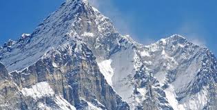
It is located at the border between Tibet (China) and the Khumbu region of Nepal. Mount Lhotse was first climbed in 18 May,1956 by Mr. Fritz Luchsinger and Ernst Reiss from Switzerland. It consists of three summits, the highest one is Lhotse I at 27,940 feet (8,516 metres). Lhotse lies just south of Mount Everest, to which it is joined by a ridge at an elevation of about 25,000 feet (7,600 metres). It is sometimes considered part of the Everest massif. E1 was the original survey symbol (denoting Everest 1) for the mountain. On May 18, 1956, Fritz Luchsinger and Ernest Reiss, two Swiss climbers, made the first ascent of Lhotse I. Himalayan programs are recognized worldwide as simply outstanding, with a reputation for our highly professional staff of leaders, climbers and guides, first-rate logistics and our resulting record of success on the mountain.
Team will fix the route all the way to the summit, but there is steep ice and rock in the Lhotse Couloir, so you need to be very fit and capable. On summit bid you will be provided 7200 liters of climbing oxygen (same as Everest climbers) with 1800L at C3, 3600L at Col, 1800L higher on the climb. The trek to Everest BC is one of the world’s classic human powered adventures. We have three trekking departures to Base Camp. Nelson’s already heavily marked belt. She’s one of about 10 women who have skied the world’s highest peaks those exceeding 8,000 meters and she’s the only woman who has skied more than one. She skied Cho Oyu in 2005 with no supplemental oxygen or assistance. The South face raises 3.2 km and is 2.25 km wide making it the steepest face of this size in the world.
- Makalu Mountain
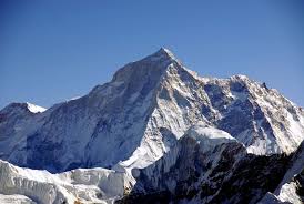
Makalu, the world’s fifth highest peak in the world rising to 27,838 feet (8,485 meters). It is located in the Mahalangur Himalayas19 km (12 mi) southeast of Mount Everest, on the border between Nepal and China. Makalu is an isolated peak whose shape is a four sided pyramid. Its size alone is impressive, but its perfect pyramid structure with four sharp ridges makes this mountain all the more spectacular. The name of the mountain was probably taken from the Sanskrit word Maha-Kala, which means Big Black and is a by-name of Shiva, one of the most important gods of Hinduism. The mountain has another name in the local dialect – Kumba karna, which means The Giant. Makalu has proved to be a challenging climb. The climb is technical, involving steep snow, ice, and rock at high altitude. This mountain is notorious for its steep pitches and knife-edged ridges that make the climbing Makalu very open to the elements. Makalu was first summited on May 15, 1955 by Lionel Terray and Jean Couzy of a French expedition led by Jean Franco. Franco, G. Magnone and Sirdar Gyaltsen Norbu summitted the next day, followed by Bouvier, S. Coupe, Leroux and A. Vialatteon the 17th. The French team climbed Makalu by the north face and northeast ridge, via the saddle between Makalu and Kangchungtse (the Makalu-La), establishing the standard route.
- Cho Oyu Mountain
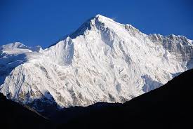
It is located in Nepal-China border in Nepal. Cho Oyu is the world’s sixth highest mountain and considered to be the easiest of the fourteen 8,000m peaks. Cho Oyu, mountain, one of the world’s highest with 26,906 feet (8,201 m) height above the sea level. It is in the Himalayas where the cen¬tral Asia plateau meets the Indi¬an sub-con¬ti¬nent on the NepaleseTibetan (Chinese) border about 20 miles (30 km) northwest of Mt. Everest. There is a beautiful meaning the Goddess of Turquoise, owing to its colours in the setting sun. Cho Oyu is known as being one of the easiest peaks due to its straight forward approach and lack of objective dangers. Mount Cho-Oyu was first climbed on on October 19, 1954 by Australian Joseph Joechler, Herbert Tichy (Italy), Pasang Dawa Lama (Nepal).
The expedition provides a perfect entrance into the world of high-altitude Himalayan climbing. Our route is composed of snow slopes with short sections of ice and rock scrambling. Some of our past Cho Oyu climbs have had 100% summit success. The peak offers views which are equally splendid as the name. This makes it the second most climbed eight-thousander in the world, giving ground only to Mount Everest. Climbers are also encouraged by the fact that most attempts end in reaching the summit of Cho Oyu.
- Dhaulagiri Mountain
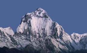
It is located just north of central Nepal. Dhaulagiri is reflected as one of the most fascinating peaks to climb. In 1958, Swiss climber Max Eiselin found a better route and made plans to climb the mountain, landing a permit for 1960. Dhaulagiri was first summated by an Austrian, Swiss and Nepali expedition on May 13, 1960. The name of Dhaulagiri is Dhawala means “Dazzling, White Beautiful” and Giri means “Mountain”. Many of Dhaulagiri’s snow and glacier covered peaks exceed 25,000 feet (7,620 metres), including Dhaulagiri I, II, III, and IV.
The tallest, Dhaulagiri I, reaches an elevation of 26,795 feet (8,167 metres) and is the world’s seventh highest mountain. Upon its discovery in 1808, Dhaulagiri was thought to be the world’s highest mountain, displacing Mount Chimborazo in Ecuador. Dhaulagiri stands over the great Kali Gandaki Valley, which by some measures is the deepest gorge on earth. The Annapurna I, which is 34 km east of Dhaulagiri I, in between these two giants a gorge is formed, known as Kaligandaki Gorge, This gorge is deepest gorge in the world and Kaligandaki River flows in this gorge. The Gandaki, a tributary of the Ganges River, is a major Nepalese river that flows south through the Kali Gandaki Gorge. The deep canyon, which plunges between Dhaulagiri on the west and 26,545-foot Annapurna I on the east, is the world’s deepest river gorge if measured from the river to the summits.
- Manaslu Mountain
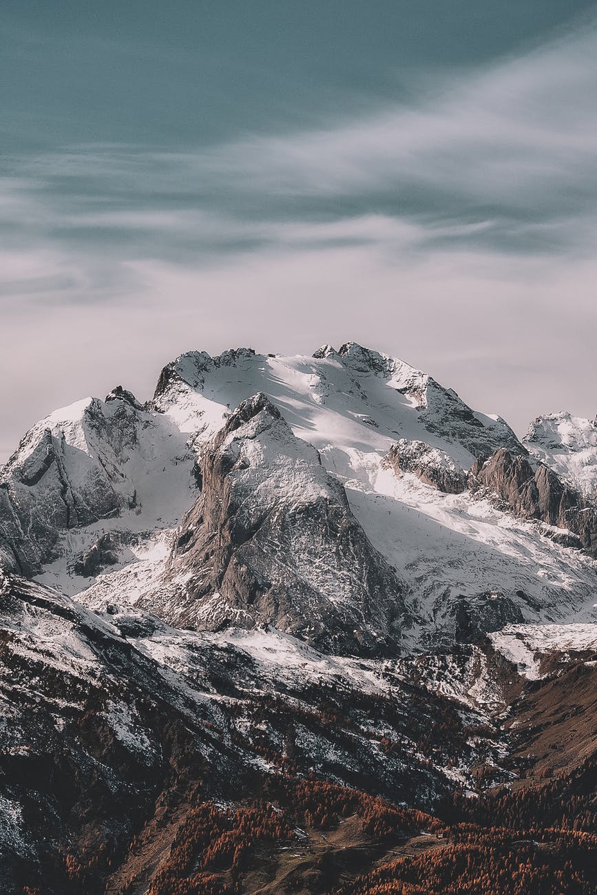
Mount Manaslu, is the world’s eighth-highest mountain, reaching a lofty 8,163m/26,781ft. It is located in the Mansiri Himal in the west-central part of Nepal. It is located forty miles east of Annapurna and dominates the Gurkha massif. The mountain’s long ridges and valley glaciers offer feasible approaches from all directions, and it culminates in a peak that towers steeply above its surrounding landscape, and is a dominant feature when seen from afar. This mountain was previously known as Kutan l. Its name, which means “Mountain of the Spirit”, comes from the Sanskrit word Manasa, meaning “intellect” or “soul”. Manaslu was first climbed on May 9, 1956 by Toshio Imanishi and Gyalzen Norbu, members of a Japanese expedition. The Manaslu region offers a variety of trekking options. There are a half dozen established routes on the mountain today, the south face being arguably the toughest in climbing history. It is the 4th most dangerous 8000m peak. All routes to the base camp of Manaslu begin in Kathmandu. Expedition time is approximately 62 days. It is a serious high-altitude mountain where climbers lose their lives every year. It is a longer climb but similar to Denali in spirit in that you climb on steep snow slopes most of the time but obviously at a significantly higher altitude. Also you are using fixed ropes continuously from Camp 1 on. It is a great training climb for aspiring Everest climbers to see how their body reacts to high altitude 8,000m. According to the Himalayan Database in 2012, The success rate is about 60%, about half summit without using supplemental oxygen.
- Nanga Parbat Mountain
It is located on southern side of Indus River in Gilgit Baltistan, Pakistan. Nanga Parbat lies in Pakistan with the height of 26,660 feet (8,126 meters) and it was known as “Killer Mountain” till the first half of the twentieth century. It is less dangerous to climb, but still very difficult. The name Nanga Parbat is derived from the Sanskrit words nanga and parvata which together mean “Naked Mountain”. Nanga Parbat, also called Diamir the “king of the mountains”, situated in the western Himalayas 17 miles (27 km) west-southwest of Astor, in the Pakistani-administered sector of the Kashmir region. The mountain’s steep south wall rises nearly 15,000 feet (4,600 metres) above the valley immediately below, and the north side drops about 23,000 feet (7,000 metres) to the Indus River. Bahl from Australia was the first one to ever climb Nanga Parbat in 1953. It has three vast faces. The Rakhiot (Ra Kot) face is dominated by the north and south silver crags and silver plateau. The Diamir face is rocky in the beginning. The Nanga Parbat peak was discovered in the nineteenth century by Europeans.
10.Annapurna Mountain
Annapurna is a series of peaks, the highest of which is called Annapurna I, with the height of 26,545 ft /8,091 m. The peaks in the Annapurna range are some of the world’s most dangerous to climb. The mountain is located in Nepal along a 55-kilometer (34-mile) ridge just east of the Gandaki River, which has carved one of the deepest river gorges in the world. The Annapurna massif contains six major peaks, Annapurna I (8091m/26,545ft) Annapurna II(7937m/26,040ft) Annapurna III(7555m/24,786ft) Annapurna IV (7525m/24,688ft) Gangapurna (7455m/24,457ft) Annapurna South (7219m/23,684ft). The Annapurna Conservation Area is home to several world-class treks, including Annapurna Sanctuary and Annapurna Circuit. On June 3, 1950, the French climbers Maurice Herzog and Louis Lachenal reached the summit of Annapurna, making it the first eight-thousand meter peak ever successfully climbed. The rocks that make up Annapurna’s summit – limestone formed at the bottom of a warm ocean – are a reminder of the powerful tectonic forces that pushed up the world’s highest mountains.

